Subdivision Surveys
Subdivision Surveys Explained
Every subdivision is different, but most follow the same general pathway. Mandy provides surveying support from the initial property discussion and pre-DA stage through to council plan sealing, working alongside your town planner, engineers, contractors and solicitor.
Your Subdivision Pathway
-
1
Property Discussion
You + Mandy
Discuss the property, whether the existing house will remain and what you would like to achieve.
-
2
Pre-DA Surveying
Point 2 Point Surveys
Capture site levels and features, confirm boundary information where required and prepare the proposed-lot plan.
-
3
Development Application
Town Planner + Engineers
Prepare the application using council requirements, the proposal plan and the necessary engineering concepts and designs.
-
4
Council Approval
Council
Development approval is issued with the conditions that must be completed before plan sealing.
-
5
Subdivision Survey and Site Works
Point 2 Point Surveys + Contractors
Re-establish boundaries, support service installation, place final survey marks and prepare the Plan of Survey.
-
6
Council Plan Sealing
Mandy + Council
Compile the compliance evidence, submit the required documents and obtain council certification of the survey plan.
-
7
Title Registration
Your Solicitor + Titles Queensland
Your solicitor lodges the sealed survey plan and supporting documents so the new titles can be created.
Understanding Each Stage
Every subdivision is different, and the exact requirements will depend on the property, council planning provisions and conditions of approval. The following provides a general guide to the residential subdivision process.
1. Initial Property Discussion
The first step is understanding your property and what you would like to achieve. Will the existing house remain, be relocated or be demolished? How many lots are you hoping to create, and are there any known access, servicing or boundary considerations?
Mandy will review the available property information, discuss your proposed outcome and explain the surveying work likely to be required. Planning feasibility should also be confirmed with your town planner or council.
2. Pre-DA Surveying and Proposal Plan
The pre-DA stage provides the site information needed to begin planning and designing the subdivision.
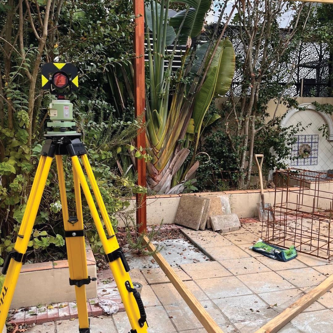
A Contour and Detail Survey records relevant features such as ground levels, buildings, structures, services and vegetation. An Identification Survey may also be required to confirm the property boundaries.
This information is used to prepare a Proposal Plan showing the proposed new lots. Your town planner uses the Proposal Plan for the Development Application, while engineers use the Contour and Detail Survey to prepare the necessary engineering concepts, designs and supporting information.
3. Development Application
This is where your town planner takes the lead. They prepare and coordinate the Development Application using the Proposal Plan, survey information, engineering designs and other specialist reports required by council.
Council assesses the proposal against the relevant planning requirements and may request further information before making its decision.
4. Council Approval
Approval is an exciting milestone, but it also comes with a list of conditions that must be completed before council will seal the survey plan.
Your town planner and other consultants can help interpret the approval and coordinate the next stage. Site clearing, civil works and service installation can then proceed where permitted and in accordance with the approval conditions.
5. Subdivision Survey and Site Works
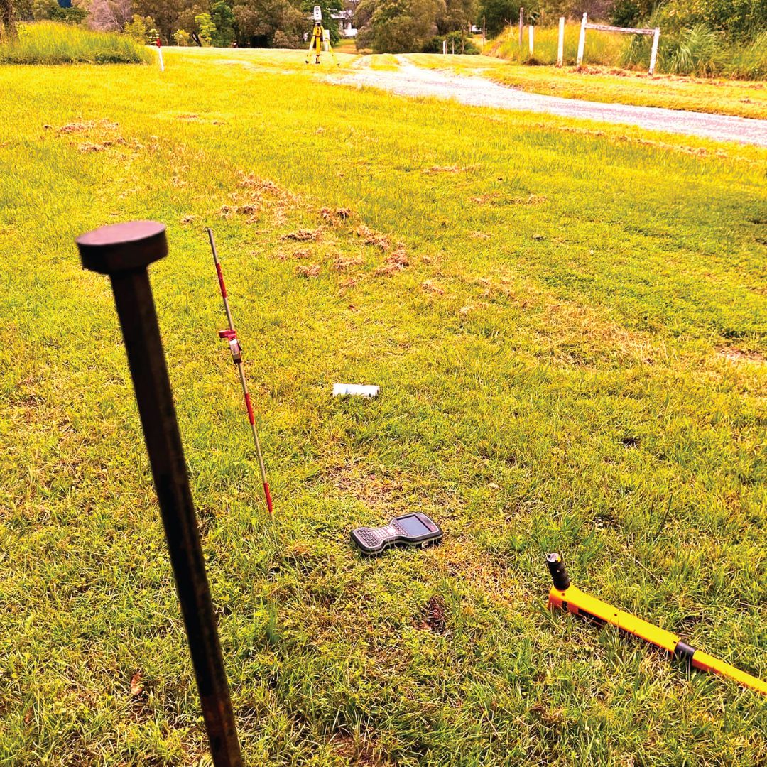
Point 2 Point Surveys completes an initial cadastral survey to re-establish the existing property boundaries and place the marks needed to guide the subdivision works.
Contractors can then install the required infrastructure and services, which may include electricity, sewer, water, stormwater drainage and communications.
Because survey marks can be disturbed during construction, Mandy returns when the works are sufficiently complete to place the final marks and prepare the Plan of Survey showing the new lots and boundaries.
6. Plan Approval — Council Plan Sealing
Before council will seal the Plan of Survey, the conditions of the Development Approval must be completed and supported by the required evidence.
Mandy prepares a compliance matrix to help track the relevant conditions and works with the client and other consultants to gather the supporting documents. Point 2 Point Surveys then prepares the surveying compliance report and submits the Plan of Survey and supporting information to council for final certification.
7. Title Registration
Once council has sealed the Plan of Survey, your solicitor lodges the sealed plan and supporting legal documents with Titles Queensland.
Following registration, Titles Queensland creates the new titles. Point 2 Point Surveys does not undertake title registration, but Mandy can refer you to a solicitor if required.
What our clients say